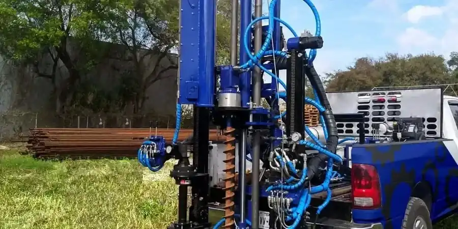
The CME-75 rig sets up fast in Birmingham's tight lots—automatic hammer, 140-pound donut falling a clean 30 inches, exactly what ASTM D1586-18 demands. We run the split spoon sampler through residual silts and weathered shale that blanket the Valley and Ridge terrain, counting blows every six inches. The city's 643-foot elevation range means soil profiles shift fast between Red Mountain and the Black Warrior River floodplain, so N-values alone don't tell the full story without understanding the local geology. When refusal hits shallow—common near the limestone outcrops south of I-459—we pair the SPT with CPT soundings to map rockhead continuity, or layer in MASW profiles to bracket shear wave velocities where karst voids might complicate the foundation picture.
Birmingham's residual soils punish rigs that aren't calibrated—every N-value we report carries a hammer energy ratio traceable to the last calibration.
Local ground factors
Birmingham's industrial boom in the late 1800s left a legacy of fill, slag, and undocumented backfill across the downtown grid and the old steel mill corridors—material that no standard penetration test should treat as natural soil. The Railroad Park area, for instance, sits on former rail yards where granular fill mixed with cinder and brick fragments creates erratic blow counts and false refusal on debris. Down in the Black Warrior floodplain, loose Holocene alluvium with N-values in the single digits carries real liquefaction potential under the IBC seismic design category that governs Jefferson County. The other headache is karst: the Bangor Limestone and underlying Tuscumbia formations have solution cavities that swallow drilling fluid without warning, and an SPT boring that drops the rods suddenly into a void needs immediate grouting. Our field geologists log every rod drop, every loss of circulation, and every refusal anomaly because those details determine whether your foundation design needs a contingency for over-excavation or micropile support.