← Home · Underground Excavations

Geotechnical Excavation Monitoring in Birmingham AL

Together, we solve the challenges of tomorrow.

LEARN MORE →

Birmingham sits on the tail end of the Appalachian foothills, and that geological setting creates a unique set of challenges for any deep cut. You are not dealing with uniform coastal plain sediments here; you are cutting through weathered shale, cherty limestone, and residual clays that change behavior within a few vertical feet. The Red Mountain formation runs right through the city and can turn a straightforward basement dig into a water management headache if the fracture zones open up. Our excavation monitoring program tracks lateral deflection, piezometric pressure, and vibration levels in real time so that the shoring design works the way the engineer intended. When the stratigraphy gets tricky, we often combine inclinometer readings with a CPT test to verify the soil profile against the geotechnical baseline report.

Ridge-and-valley geology means the soil-water-structure interaction changes block by block; monitoring parameters that worked in Vestavia Hills will not necessarily apply in Five Points South.

Our approach and scope

The difference between excavating in Homewood versus downtown Birmingham is bigger than people expect. Homewood often hits deeper residual soils over weathered rock, and the inclinometer casings there tend to show progressive creep during wet winter months. Downtown, where you are more likely to encounter the Conasauga formation limestone with solution cavities, the risk shifts from gradual deformation to sudden water inflow. Our instrumentation arrays are configured based on that neighborhood-level geology, not a one-size-fits-all checklist. Typical monitoring points include optical survey targets on adjacent structures, crack gauges on sidewalks, and vibrating wire piezometers installed just outside the excavation zone. We run automated total station readings every two hours during the active cut phase and push alerts if the displacement vector exceeds 80 percent of the trigger value. For excavations that go deeper than twenty feet, the IBC chapter 33 requirements kick in, and that is where having a calibrated monitoring plan saves weeks of delay because the inspector can see compliance data immediately.
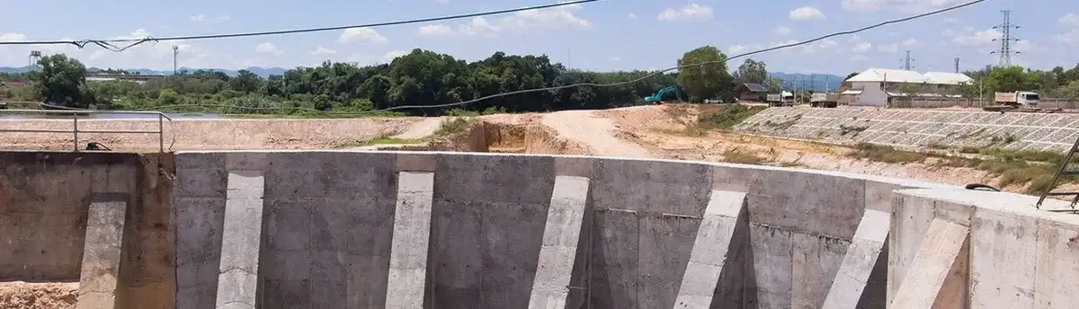
Geotechnical Excavation Monitoring in Birmingham AL
Technical reference image — Birmingham Alabama

Local ground factors

Birmingham has been growing fast, and a lot of that growth is infill construction where new basements go in right next to hundred-year-old brick buildings. The 2020 census put the metro area past 1.1 million people, and that density means excavation monitoring is not optional, it is a liability control measure. Settlement of just three quarters of an inch can crack a party wall and trigger a lawsuit that costs more than the entire instrumentation budget. The karst features in the Valley and Ridge province add another layer of uncertainty: a void that did not show up on the boring logs can open during dewatering and cause a sudden loss of ground. Our team has handled monitoring programs where the contractor hit an uncharted cavity on Third Avenue North, and the real-time piezometer data gave the engineer enough warning to switch to a controlled re-grouting sequence before the street sagged. That kind of early detection is what separates a managed excavation from a front-page news story.

Need a geotechnical assessment?

Reply within 24h.

Email: contact@geotechnical-engineering.xyz

Typical values

ParameterTypical value
Trigger threshold (lateral)0.5 to 1.0 inch, project-specific
Monitoring frequency (active cut)Every 2-4 hours via automated total station
Inclinometer casing depthTypically 1.5x excavation depth into competent rock
Piezometer typeVibrating wire, sealed in sand pack per ASTM D5092
Crack gauge resolution0.01 inch (manual) or 0.001 inch (LVDT)
Vibration monitoring standardPeak particle velocity per USBM RI 8507 limits
Reporting formatDaily PDF summary plus real-time web dashboard
Applicable codeIBC 2021 Chapter 33, ASCE 7-22 Section 12.14

Related technical services

01

Lateral Deformation Monitoring

Inclinometer casings, automated total station arrays, and optical targets installed to track shoring wall movement and slope creep. We calibrate alert levels against the project-specific performance specification and generate daily displacement plots for the engineer of record.

02

Groundwater and Pore Pressure Control

Vibrating wire piezometers placed in critical aquifer zones to monitor dewatering effectiveness and detect perched water that could destabilize the cut face. Data is streamed to a dashboard accessible by the superintendent and the geotechnical consultant simultaneously.

03

Vibration and Settlement Surveys

Crack gauges, seismographs, and precision leveling runs on adjacent structures before, during, and after blasting or heavy compaction. We follow USBM RI 8507 limits for peak particle velocity and provide weekly condition reports that serve as legal documentation.

Reference standards

IBC 2021 Chapter 33 — Safeguards During Construction, ASCE 7-22 Section 12.14 — Geotechnical Seismic Monitoring Requirements, ASTM D5092 — Standard Practice for Design and Installation of Groundwater Monitoring Wells, USBM RI 8507 — Vibration Criteria for Adjacent Structures, OSHA 1926 Subpart P — Excavation Safety Requirements

Common questions

What does geotechnical excavation monitoring cost for a typical basement dig in Birmingham?
How often are monitoring readings taken during active excavation?

During the active cut phase, automated total station readings are typically taken every two to four hours, and inclinometer surveys are run daily if lateral movement is approaching the trigger threshold. Once the cut reaches final grade and the permanent structure starts going in, the frequency drops to weekly or bi-weekly depending on what the instrumentation data shows. The monitoring plan is written to comply with IBC chapter 33 requirements and the project-specific performance specification.

Do you monitor existing structures before excavation starts to establish baseline conditions?

Yes, a pre-construction condition survey is standard practice. We document existing cracks with calibrated gauges, run a baseline precision leveling loop on adjacent sidewalks and foundations, and photograph every elevation change point. That baseline data is what protects the contractor and the owner if a neighboring property owner later claims that the excavation caused damage. The survey package is archived as a dated, signed PDF report that holds up in court if needed.

Location and service area

We serve projects across Birmingham Alabama and surrounding areas.

View larger map